Climate change is causing global sea levels to rise. Oregon’s coastlines are vulnerable to the impacts of sea level rise. The Oregon Coastal Management Program (OCMP) has developed tools to assist local communities in planning for the impacts of sea level rise, which are listed below. We will continue to update this page as more resources and information are developed for Oregon’s coastal communities.
Sea Level Rise Adaptation Planning
 OCMP staff developed a toolkit for local governments and communities to assess and address the impacts of sea level rise, which consists of three parts:
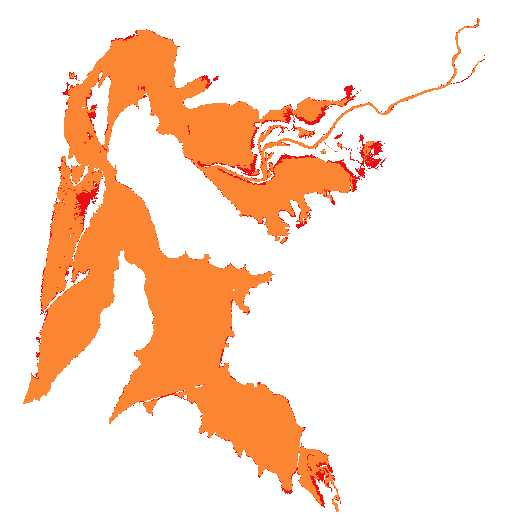
- Sea Level Rise Impact Explorer is a combination of multiple data sources and is meant to serve as a planning tool. The dataset is not regulatory unless a jurisdiction adopts it. There are three main geographies covered by the sea level rise planning area: outer coast, estuaries, and Columbia River. A mix of datasets are displayed for these three geographies and are meant to approximate the areas that will be impacted by sea level rise, using the current best available data. Inclusion of an area in the SLR planning area could mean permanent inundation or that the area will be impacted by high tide flooding, storm surge, or erosion events.
- Sea Level Rise Impact Assessment Tool is a set of spreadsheets designed to help users inventory what activities take place within affected areas, assess vulnerability to harm, and prioritize further investigation into remedial and adaptative actions. This process can serve as the jurisdiction’s or organization’s vulnerability assessment. Instructions for the Impact Assessment worksheets.
- Sea Level Rise Planning Guide for Coastal Oregon is a toolkit that provides a suggested approach to evaluate the assets at risk from the impacts of sea level rise and offer potential adaptation strategies to adapt to those impacts. This document is intended to guide local planning and development decisions on the Oregon Coast to support community resilience and ensure effective coastal management actions.
This is an active area of continued research, and OCMP will continue to update these resources as more data and information become available.
A 2022-2024 NOAA Coastal Management Fellow has joined the Oregon Coastal Management Program team to focus on sea level rise adaptation planning and help implement the tools described above. The fellowship project will provide direct capacity to advance sea level rise adaptation planning at the local level in Clatsop County. This will involve hosting community outreach and open house events to identify community assets at risk from sea level rise and working with communities to prioritize and develop sea level rise adaptation measures.
Fellowship Project and SLR Resources Summary Handout
Other Sea Level Rise Resources
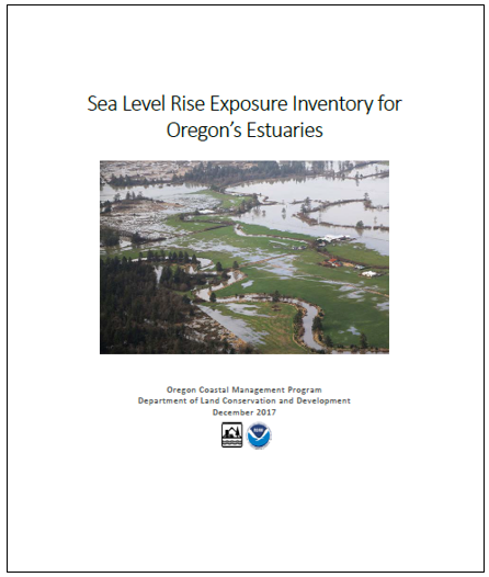
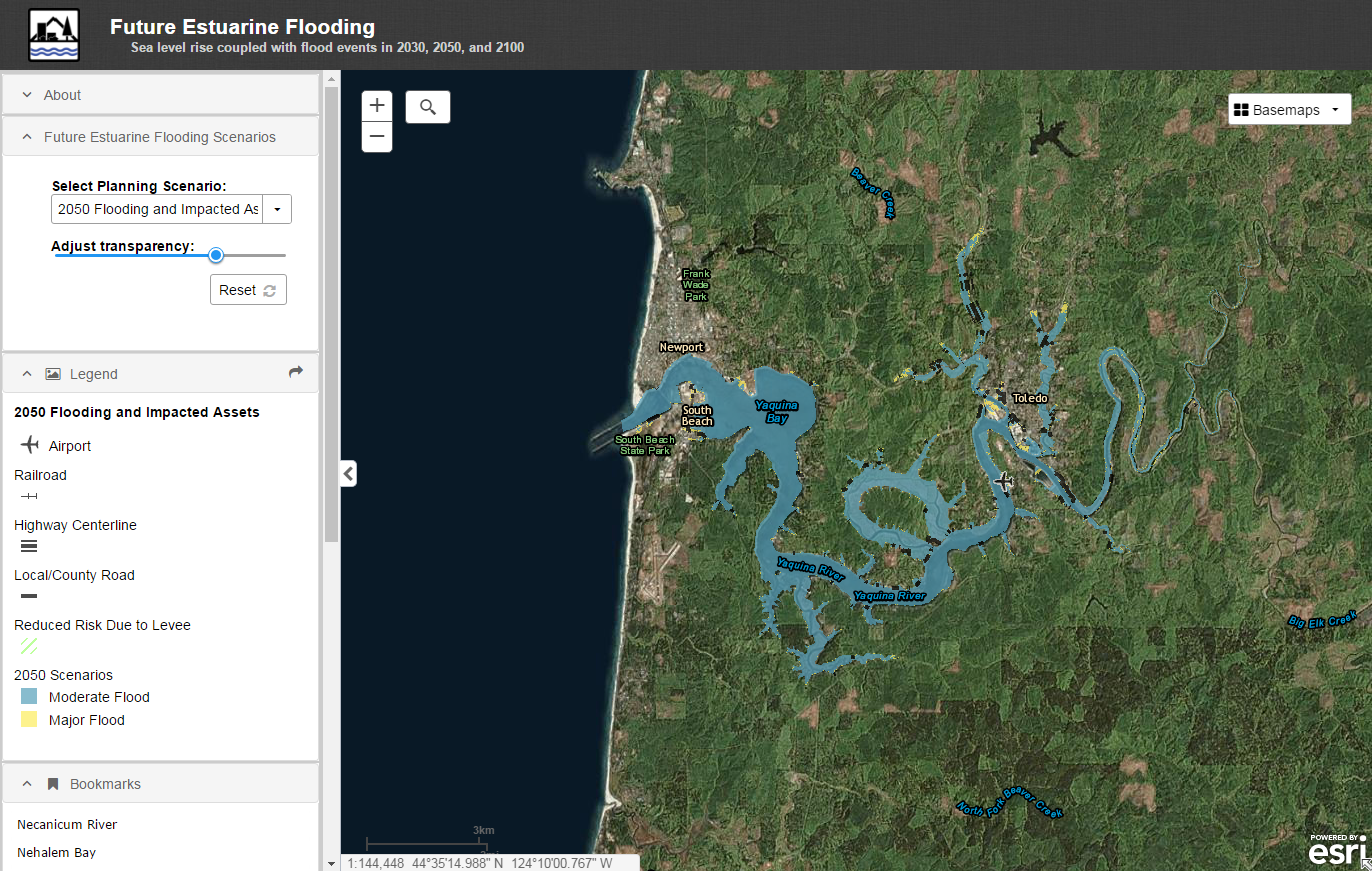
An exposure inventory was completed in 2017 to serve as a statewide resource for sea level rise planning in and around estuaries. The exposure inventory determined the assets and geographies most likely to be affected by a sea-level rise driven increase in flooding in 21 of Oregon’s estuaries, and prioritized areas to focus future resources and further study. An exposure inventory is the first step in sea-level rise adaptation planning. Six future flooding scenario polygons are available to use in planning, a written report details the assets that are within each of those scenarios, and a web map allows for an easy visualization of both. These products support state and local efforts to better understand and plan for sea-level rise.
| Report | Data Viewer | Data sets | Web Services |
 |
 |
|
These products were produced by 2015-2017 NOAA Coastal Management Fellow Julie Sepanik.