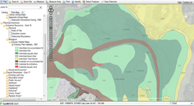
 The Estuary Data Viewer was designed to meet the needs of Oregon’s local planners working in and around estuaries. The goal of the viewer is to make estuary related data easier to find and allows users to view, overlay, evaluate, and interact with digital data more efficiently while utilizing the large spatial database of the Coastal Atlas. The viewer supports tasks related to statewide planning Goals 16 and 17 and local estuary management plans.
-->> Click here to launch the Estuary Data Visualization Tool <<--
Features
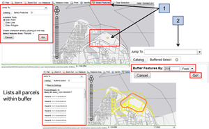
- Overlays critical data layers necessary for planning activities in Oregon’s estuaries.
- Helps users visualize and explore geospatial data in Oregon’s estuaries.
- Allows users to download a PDF map of selected data layers.
Resources
- Video tutorial of viewer features
- Viewer User Guide help documentation
- Viewer FAQ
- RSS feed of new additions to the viewer
More Information
The user interface of the Estuary Data Viewer was designed and built by local level government users for local level government uses. Originally developed in Minnesota, where it acquired the name “GeoMoose”, it was adopted in Oregon in 2010 by the Oregon Local Government Web Mapping Consortium. The interface contains many tools tailored to specific local government tasks.
- For information about the Local Government Web Mapping Consortium, contact Dean Anderson This email address is being protected from spambots. You need JavaScript enabled to view it..
- For information about the Oregon Coastal Atlas or the Estuary Data Viewer, contact Tanya Haddad at This email address is being protected from spambots. You need JavaScript enabled to view it..
- For information about GeoMoose visit the project website at http://www.geomoose.org/.