
Yaquina Bay Estuary Management Plan Update
Planning for a healthy and prosperous Yaquina Bay
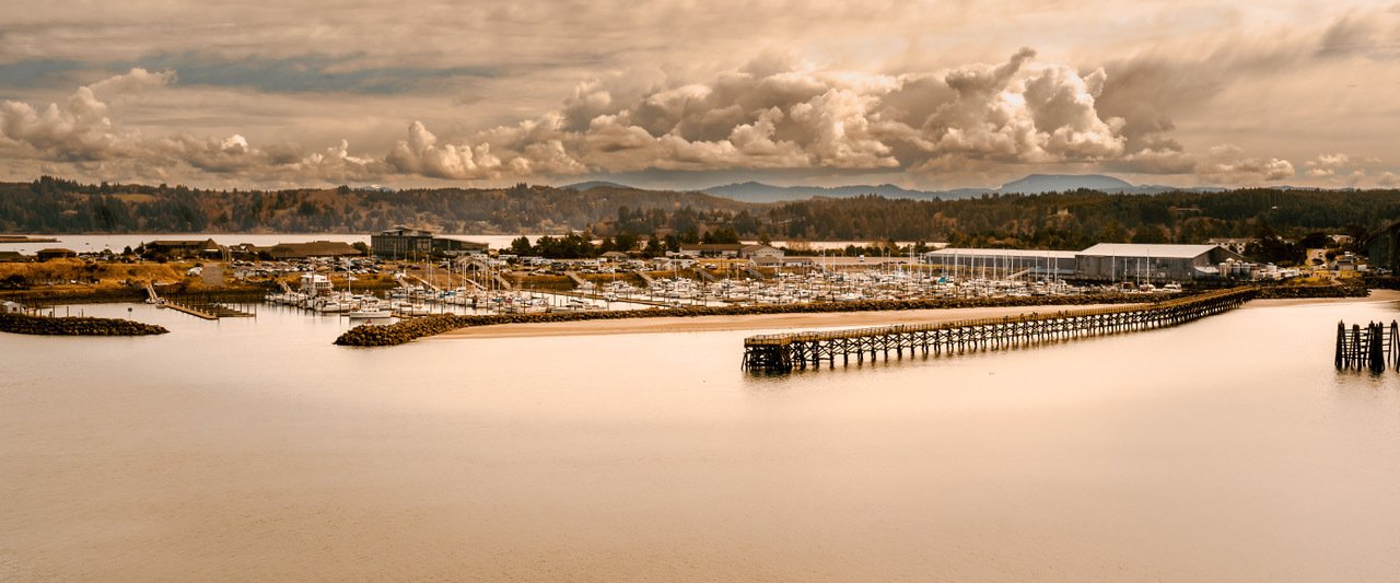
The estuary management plan for Yaquina Bay ensures the bay is managed for the benefit of the public and natural resources in a way that meets the development needs of the community. Lincoln County and the Cities of Newport and Toledo have been working to update the estuary management plan (EMP) for Yaquina Bay. The current Plan was written in 1982. An update is needed to ensure that decisions about managing estuarine resources are based on the best available information, maps, and understanding of how estuaries fit into communities. As part of the update process, the draft Plan update is being shared with the public for review and feedback. That feedback will be considered and incorporated into the final version of the Plan update to be considered for plan amendment adoption by the County.
Estuary management plans rely on data and information that describe the physical, biological, social, and economic conditions of the estuarine area, and define the boundaries of individual management units. This information has been mapped and is available on this data viewer. This information is all draft for now. It only becomes official when the County and Cities adopt the information.
About this Project
The Yaquina Bay Estuary Management Plan Update is a project of the Oregon Department of Land Conservation and Development, in partnership with Lincoln County, the City of Newport, the Port of Newport, the City of Toledo, and the Port of Toledo. This project is supported with funding from the Oregon Coastal Management Program from the National Oceanic and Atmospheric Administration (NOAA), under the Coastal Zone Management Act of 1972, as amended, administered by NOAA’s Office for Coastal Management. For more information about the project, the revisions, or the data, please email meg.reed@dlcd.oregon.gov.